


grand bassin plaine des cafres

funkady
User
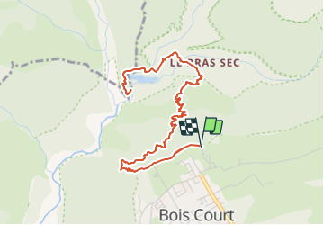

Length
10 km

Max alt
1396 m

Uphill gradient
1011 m
Km-Effort
23 km

Min alt
602 m

Downhill gradient
1010 m
Boucle
Yes
Creation date :
2022-03-05 08:57:16.694
Updated on :
2022-03-05 08:58:29.783
5h19
Difficulty : Very difficult

FREE GPS app for hiking
 SityTrail
IGN / Geographical institutes
SityTrail Plus
The world is yours!
About
Trail Walking of 10 km to be discovered at Réunion, Unknown, Le Tampon. This trail is proposed by funkady.
Positioning
Country:
France
Region :
Réunion
Department/Province :
Unknown
Municipality :
Le Tampon
Location:
Unknown
Start:(Dec)
Start:(UTM)
348114 ; 7656071 (40K) S.
Comments